Seabird species all over the world, especially tube-nosed birds like albatrosses and petrels, are at risk when they interact with fisheries. Attracted to fishing vessels by the prospect of food, seabirds frequently get caught on hooks, entangled in nets, or injured by cables. These events, collectively known as bycatch, lead to hundreds of thousands of seabird deaths every year.
One important way scientists study bycatch risk is by tagging birds with GPS trackers to see what fisheries they overlap with during their time at sea. Measuring how birds and vessels overlap has provided incredible insights over the past 20 years into where and when seabirds are most at risk. However, there is uncertainty. For example, if an albatross is tagged with a GPS device that records 1 location every 2 hours, scientists cannot be sure where the bird flew during each 2-hour gap. What are the chances that it approached a nearby fishing vessel, if that vessel also has 2-hour gaps between its GPS locations?
Our new paper published today has come up with a way to fill these research gaps through a collaborative study between researchers from the University of Oxford, BirdLife International, and the New Zealand Department of Conservation. Our method, drawing from a field called time geography, has a simple premise: if the maximum speed of a bird (or vessel) is known, there is a limited area within which it must have been between each GPS location. We overlapped these areas to calculate the probability that a bird flew close enough to a vessel to be at risk of bycatch. In other words, we can now measure the uncertainty of seabird-vessel interaction, even with big gaps in GPS data.
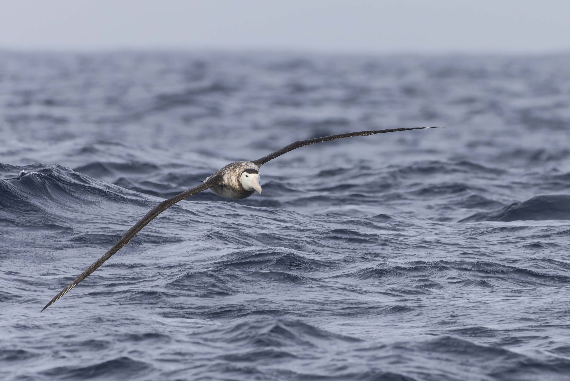
Antipodean Albatross © Charlie Barnett
To demonstrate the method, we examined GPS tracks from two individual Antipodean Albatrosses (Diomedea antipodensis), known as Toroa in Te Reo Māori. This Endangered species, endemic to Aotearoa New Zealand, is highly threatened by bycatch in fisheries. In 2019, the New Zealand Department of Conservation tagged these birds with GPS devices capable of transmitting data to satellites, meaning researchers could monitor their locations in real time for several months.
We obtained the locations of fishing vessels that were in the same general area as these birds from Automatic Identification Systems (AIS), which most industrial fishing vessels are required to use while at sea. Global Fishing Watch, an organisation that monitors fishing around the world, provided access to the AIS locations, through their research partnership with BirdLife.
Using the time geography method, the team calculated how long, and with what probability, both birds interacted with each of the vessels in its vicinity. Their results provide a striking view of how albatrosses can follow fishing vessels for hours at a time. For example, one bird followed a single vessel for between 6 and 14 hours.

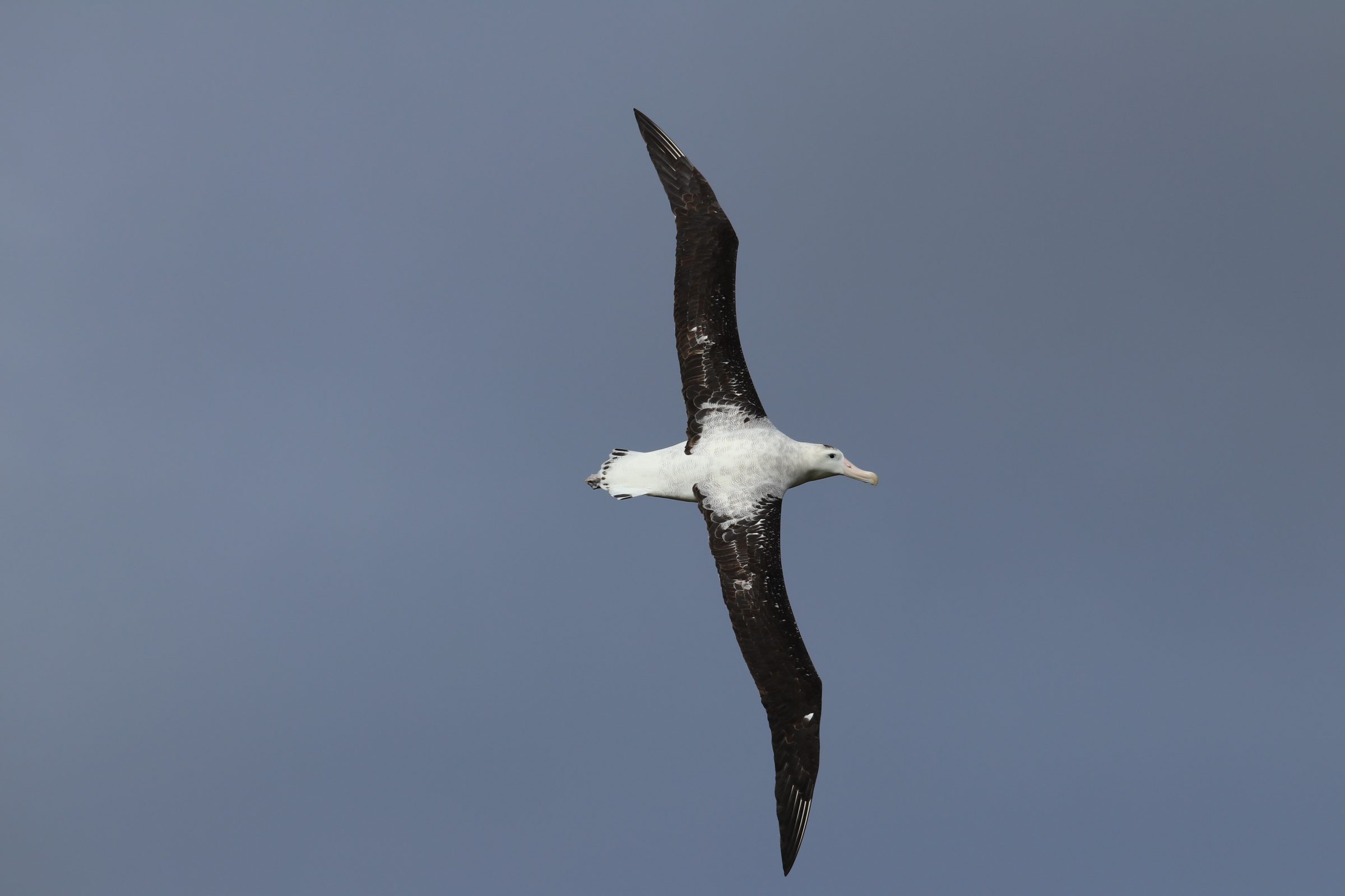
Figure 2a from Rutter et al. 2024 Animal Conservation
At first glance, this result is concerning because it shows that albatrosses can be at high risk of bycatch for long periods. However, the true importance of this finding comes from the fact that we have a range of numbers. There is a 97.5% chance that attendance lasted for at least 6 hours and a 2.5% chance that it lasted for at least 14 hours. Previously, we might have just shared a number in the middle (10 hours, for example), without any idea how uncertain that number was. Now, we can quantify that uncertainty.
By measuring the uncertainty of seabird-vessel interactions, the time geography method can help to improve bycatch risk assessments for seabird species around the world. It may be especially useful when seabird or vessel tracking data has large or inconsistent gaps between locations. The time geography method does not need to be limited to seabird-fishery interactions. Manatees at risk of boat strikes, deer at risk of vehicle collisions, tour boats trying to increase whale watching success – many research questions involve uncertain interaction between two moving objects.
Seabird bycatch can be reduced through a variety of mitigation measures, from setting fishing gear at night to weighting longlines. However, uptake and implementation of these measures is sadly insufficient in many fisheries. This study provides a new tool to inform the prioritisation of efforts to increase bycatch mitigation worldwide. Our approach could empower management of a threat that is inherently uncertain, to ensure a less uncertain future for seabirds.